
Drone in Ethiopia: Drone Services, Applications, and Regulations

Drones are increasingly providing solutions for the fields of surveying, mapping, agriculture, construction, infrastructure inspections, environmental monitoring, among other geospatial uses. In Ethiopia, this system can collect high-resolution aerial information from large and hard-to-access areas.
The growing use of the above technology in Ethiopia is helping organizations obtain precise aerial imagery, produce detailed maps, manage land and crops, inspect objects, and make data-driven decisions. Unlike the use of traditional ground-based surveys, drone-based information collection allows for quick coverage of vast areas and access to very detailed information at the same time.

What Is a Drone?
A drone, referred to as an unmanned aerial vehicle (UAV), is a type of aircraft that can function with no pilot inside the aircraft. Drones may be operated via remote control or through automated flight systems.
Today’s commercial drones can include numerous types of sensors, such as:
RGB cameras
Multispectral cameras
Thermal cameras
LiDAR sensors
Hyperspectral sensors
The type of sensor to be used depends on the needs of the project. For example, RGB cameras are commonly used in aerial mapping and photogrammetry, while LiDAR is more helpful for producing precise three-dimensional data about the ground and other objects.
Drone Services in Ethiopia
Ethiopia is witnessing the emergence of drone services with the potential to assist businesses in various industries. In line with the specific project requirements, drone specialists in Ethiopia may perform unequaled aerial imaging, mapping, surveying, inspections, and provide unique geospatial data solutions.
Drone Mapping
Drone mapping in Ethiopia can create highly detailed aerial maps for construction works, land management, infrastructure projects, mining, agriculture, or urban development.
The pictures taken by a drone can be processed by photogrammetry software to deliver the following products:
Orthomosaics;
3D point cloud data;
Elevation maps.
All these datasets can be processed by geographic information systems.
Drone Surveying
Drone surveying enables faster spatial information acquisition from construction sites, land parcels, roadworks, and many other sites.
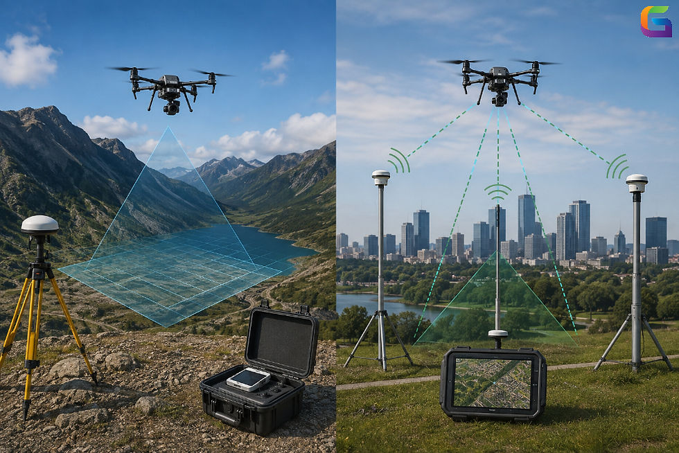
Combining drones with RTK or PPK positioning techniques and applying ground control techniques allows for achieving high accuracy in surveying.
Agriculture and Crop Surveillance
Drones are heavily utilized in agriculture. Agricultural drones with RGB and multispectral sensors can help learn about field variability and crops' condition.
Data collected with drone imaging can give answers to questions such as:
which crops have been under stress;
what vegetation variances exist;
whether irrigation is problematic;
where the problems arise from pest infection or due to illness;
boundaries of fields;
the process of crops and their growth.
With a proper approach to capturing multispectral images, vegetation indices can be calculated for crop monitoring purposes.
Construction and Infrastructure Monitoring
Drones can obtain aerial photographs of construction sites, buildings, bridges, roads, energy supply structures, etc.
The use of drones enables the project team to monitor construction work by:
checking the construction progress;
assessing the site conditions;
comparing the planned development with the actual one;
inspecting structures that are hard to reach;
creating 3D models;
keeping visual records.
LiDAR Aerial Services
In Ethiopia, aerial LiDAR can be a great assistance to projects that need precise information about terrain, vegetation, or structures.
LiDAR uses laser pulse technology to determine the distance between objects; thus, it can produce point clouds with high density. Depending on the type of device and project specifics, LiDAR can be applied for:
terrain modeling
analysis of forests
corridors mapping
infrastructure surveying
topographic surveying
3D mapping
In particular, LiDAR can be very helpful in places with vegetation since aerial photos may not give sufficient data for solving the issues.
Environmental Supervision
Aerial images can be used for environmental monitoring that includes regular high-resolution checking of landscapes.
Aerial observation offers a wide variety of applications –
monitoring of vegetation
mapping of water bodies
assessment of the presence of erosion
monitoring of wetlands
data about land change
assistance with conservation projects
analysis of environmental impacts
Using aerial photos, GIS, and remote sensing can provide valid data for environmental management.
Mine and Quarry Surveys
Drones are useful for surveying mine and quarry locations. Regular aerial data collection enables companies to monitor changes in excavation zones and determine material volumes.
Drone mapping can help:
Calculating stockpile volumes
Mapping the site
Monitoring excavation
Modeling the terrain
Tracking progress
Creating 3D representations
Repeated surveys by drone provide a historical account of how a site evolves.
Benefits of Using Drones in Ethiopia
Employing drones can bring many benefits over traditional methods of data gathering.
Speedy Data Collection
Drones can travel wide areas within a short period; thus, they can be used in such projects where aerial surveys are needed frequently.
Sharp Data
Low flights can allow the equipment to take pictures with high accuracy to study some aspects of the places that are not seen with other satellite technologies.
Economical Surveying
In some cases, surveys conducted by drones may cut down fieldwork labor and therefore be cheaper than traditional aerial/ground methods.
Regular Checking
Drone operations can be performed periodically, which is well suited for monitoring construction progress or agriculture, environmental issues, and mining.
Varied Sensors
The adaptable sensor types can be used depending on the project requirements. RGB, multispectral, thermal, and LiDAR sensors can give different types of information.
Aerial Drone Regulations in Ethiopia
Operators need to be familiar with and comply with the aviation law in force in Ethiopia before flying any drone.
The flying of drones may also be subject to laws related to aeroplane registration, operating requirements, flight permissions, flight areas, and safety measures.
Ethiopia is under the Ethiopian Civil Aviation Authority (ECAA), which is the only authority dealing with civil aviation in the country. Since aviation regulations may change at any time, operators are advised to consult with the authorities in Ethiopia to confirm what regulations apply before commencing commercial operations.
It is important to check the laws on drones when flying close to airports or any government facility or military zone, as they may refer to restricted areas or places.
Choosing a Drone Service Provider in Ethiopia
It is vital for organizations to realize that there are many aspects to consider when dealing with a drone service provider. These aspects, such as operator’s experience, sensor technology, the way data is processed, and local legislation, are of high importance.
The key aspects are as follows:
Experience in comparable projects
Qualifications of operators for drones
Suitable choice of drone and sensors
RTK/PPK option if needed
Photogrammetry/LiDAR processing skills
GIS and geospatial information knowledge
Quality control protocols
Suitable delivery formats
Understanding of local flight regulations
It is crucial to define the precision needed for the project, the ground sampling distance, the coordinate reference system, the area of interest, and the format of the output product prior to beginning the project.
How UAVSphere Can Support Drone Projects in Ethiopia
Getting the right drone operator or aerial data service provider can be difficult if the drone application requires certain pieces of technology or geospatial knowledge.
The UAVSphere platform helps customers connect with drone service providers for applications like aerial mapping, surveys, inspections, LiDAR, photogrammetry, and others.
Organizations interested in using a drone in Ethiopia can make use of a drone service provider to get the aerial data that they need.
The Future of Drone Technology in Ethiopia
With continued advancements in drone technologies in relation to sensors, hardware, location finding, and geospatial tools, drones will become increasingly useful in data gathering and analysis.
The use of drones, GIS, artificial intelligence, LiDAR, photogrammetry, and remote sensing technologies allows organizations to obtain comprehensive information for their decision-making processes.
From agricultural observation, inspection of infrastructure, topographical surveys, and environmental assessments, drone technology offers a versatile solution to gather high-resolution information in Ethiopia.
Drone applications in Ethiopia are expanding the potential to conduct mapping, surveys, agricultural activities, building and construction, mining and resource exploration, infrastructure inspection, and environmental studies.
Modern drones are capable of collecting aerial images and sensor data, which can then be used to create useful geospatial and 3D datasets.
Successful drone usage involves proper hardware, experienced operators, efficient data processing procedures, and adherence to aviation regulations.
Organizations planning to perform aerial mapping, surveying, LiDAR work, inspections, and other UAV services would benefit from partnering with experienced drone service providers.
For more information or any drone services questions, please don't hesitate to contact us at:
Email:
USA (HQ): (720) 702–4849


Comments