
What is Temporal Resolution?
- Anvita Shrivastava

- Mar 30
- 3 min read
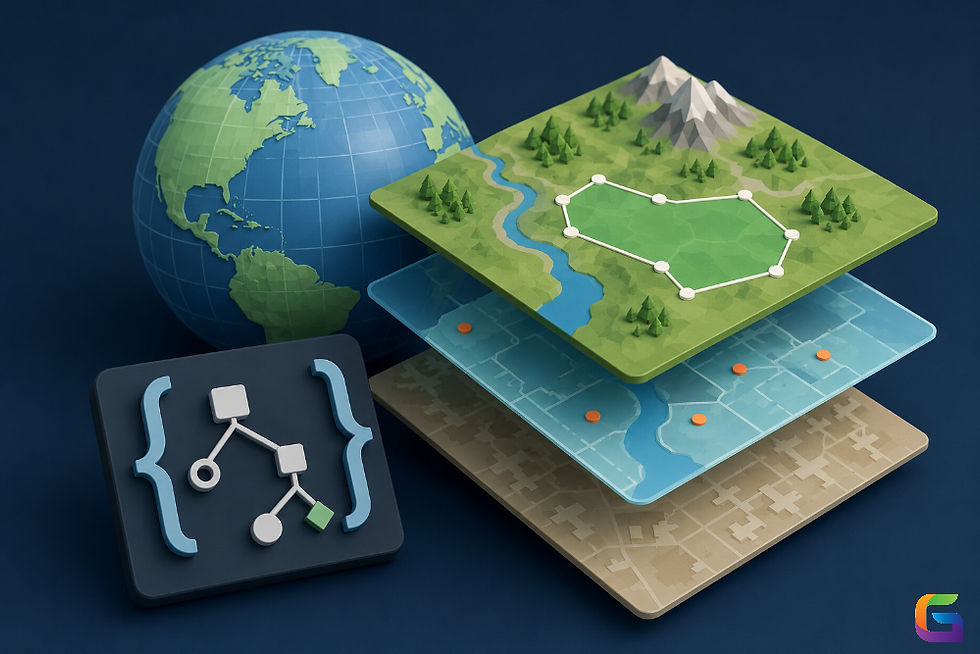
In GIS, today's drones (or UAVs) have changed everything about the way we collect spatial data. Temporal resolution is one of the most important parameters that determines the quality and usability.
What is temporal resolution in relation to drones, and why is it an important parameter for GIS applications?

What Is Temporal Resolution?
Temporal resolution is a measure of how frequently images or measurements can be obtained and recorded across a specified geographic area in a given time frame.
Temporal resolution answers the question, "How many times can a drone gather data from the same location over time?"
For example,
A drone collects imagery on an hourly basis, which represents a high temporal resolution; whereas a monthly imagery capture would correspond to a low temporal resolution.
Temporal Resolution vs Spatial Resolution
It’s easy to confuse temporal resolution with spatial resolution, but they are fundamentally different:
Parameter | Definition | Example |
Temporal Resolution | Frequency of data capture | Daily drone surveys |
Spatial Resolution | Level of detail in imagery | 2 cm per pixel |
Why Temporal Resolution Matters in Drone
Temporal resolution is key to being able to monitor the effects of time on a change. Hence, here are 3 reasons why it is so important:
Detecting Changes
Drones can make enough flights in a relatively quick time frame to allow for changes, such as
Construction progress
Land degradation
Flood Expansion
Creating Time Series Data
High temporal resolution will produce accurate time series datasets, which allow GIS Analysts to follow the trends/patterns occurring in the data over time.
Making Real-Time Decisions
Industries such as Disaster Management have to make quick decisions using near-real-time data provided by drone imagery.
Factors Affecting Temporal Resolution in Drones
Flight Planning & Mission Frequency
Batteries will restrict the collective frequency of drone flights.
Weather can also prevent flights from taking place on a scheduled basis.
Regulatory Restrictions
Current government regulations exist that restrict/limit drone frequencies in certain geographic regions based on location.
Data Processing Time
Even though a drone will frequently take an image of a target site(s), large datasets will affect the effective temporal resolution of the data.
Operational Costs
Increased frequency of flights = Increased cost (labor, maintenance, data storage)
Applications of High Temporal Resolution in GIS
Agriculture (Precision Farming)
Keep weekly/daily records of crop health.
Find out about irrigation problems as soon as they happen.
Disaster Recovery
Monitor flooding/wildfires/landslides close to real time.
Urban Development
Track the development of infrastructure and construction projects.
Environmental Monitoring
Track changes in the use of forested land, coastal areas, and tracks of wildlife activity.
Temporal Resolution in Drones vs Satellites
Feature | Drones | Satellites |
Temporal Resolution | Very high (on-demand flights) | Fixed revisit cycles |
Flexibility | High | Limited |
Coverage Area | Small | Large |
Best Practices to Improve Temporal Resolution
Plan automated flight schedules.
Use multiple drones for large areas.
Optimize battery management
Implement fast data processing workflows.
Monitor weather conditions proactively.
Temporal resolution is an important concept in GIS through the use of drones because it defines how often the spatial data gets updated over time. Having high temporal resolution allows for improved monitoring, quicker decision-making, and better analyses for all industries, but especially for agriculture, disaster management, and urban planning.
As drone technologies evolve toward higher temporal resolutions will become easier and cheaper to achieve, thus making GIS applications increasingly powerful.
For more information or any questions regarding the temporal resolution, please don't hesitate to contact us at:
Email:
USA (HQ): (720) 702–4849

Comments