
What is GeoJSON? A Beginner-Friendly Guide to Geospatial Data

Geospatial data is very important in today's applications, being used in interactive web mapping, navigation systems, urban planning, or environmental monitoring. Developers and GIS specialists make use of certain standards to exchange and visualize this kind of information. GeoJSON is a popular and widely used standard for geospatial data format.
GeoJSON is a light, easy-to-understand format that is used because it is supported by almost every modern GIS platform and mapping library. If you want to create an application based on location, if you want to create interactive maps, or if you need to analyze spatial data, then you really should understand the GeoJSON format well enough.
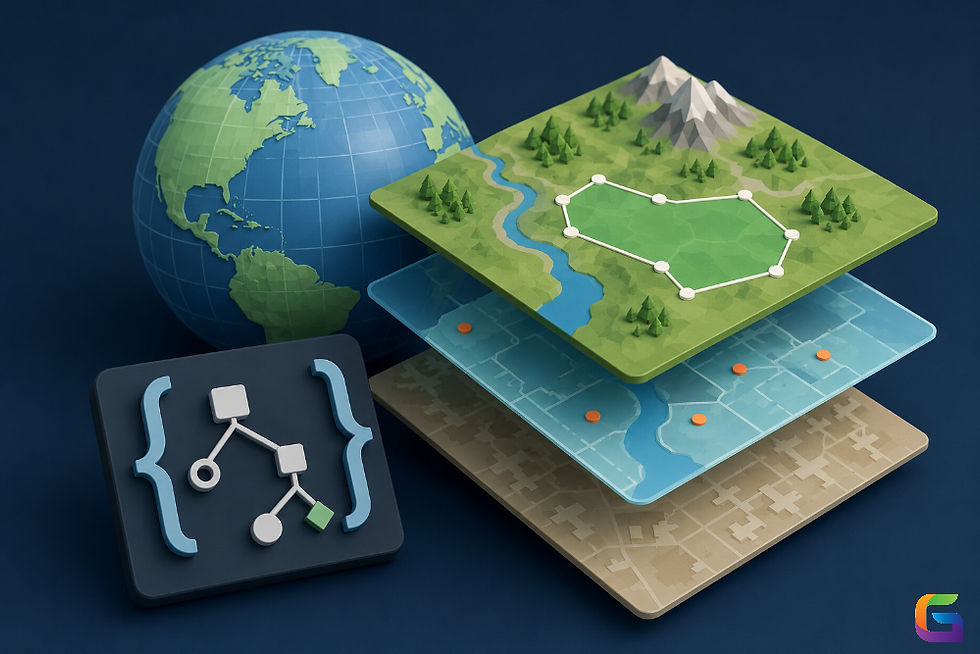
What Is GeoJSON?
GeoJSON is a standardized and open format that defines a specific geometry collection of geographical features along with their properties in JSON (JavaScript Object Notation).
With GeoJSON, one does not have to deal with complex binary formats; it is a simple format of text that is easy to read and understand by people and machines. Since GeoJSON is based on JSON, it works well with all kinds of web technologies like APIs and programming languages.
In GeoJSON, we can represent
Points
Lines
Polygons
Multi-geometries
Collections of geographical features.
Along with geographical shapes, one can also add extra descriptive data like names, identifiers, classes, population numbers, altitude, and other variables.
Why GeoJSON Is So Popular
GeoJSON has been adopted by many because it has a number of benefits.
Lightweight
GeoJSON is much more readable and simple to modify.
Easy to Read
Being simple text, it can be checked and modified with any text editor available.
Web Compatible
GeoJSON fits very well in the framework that includes JavaScript in the development and does the opposite with traditional GIS formats.
Open Standard
GeoJSON is based on an open standard specification, so it will go without a hitch with any GIS software available in the market.
Cross Platform
GeoJSON has support for lots of tools like:
GeoJSON Structure
A GeoJSON file consists of objects organized using JSON syntax.
The primary components include:
Type
Every GeoJSON object begins with a type property.
Example:
{
  "type": "Point"
}
Common types include:
Point
MultiPoint
LineString
MultiLineString
Polygon
MultiPolygon
GeometryCollection
Feature
FeatureCollection
Coordinates
Coordinates define the location of the geometry.
Example:
{
  "type": "Point",
  "coordinates": [-122.4194, 37.7749]
}
GeoJSON stores coordinates in the following order:
Longitude
Latitude
Not:
Latitude
Longitude
This is one of the most common mistakes beginners make.
Properties
Properties store non-spatial information.
Example:
"properties": {
    "city": "San Francisco",
    "population": 873965
}
These attributes make GeoJSON useful for GIS analysis and thematic mapping.
Features
A Feature combines geometry with its attributes.
Example:
{
  "type": "Feature",
  "geometry": {
      "type": "Point",
      "coordinates": [-122.4194,37.7749]
  },
  "properties": {
      "name": "San Francisco"
  }
}
FeatureCollection
Most GeoJSON datasets are stored as a FeatureCollection.
Example:
{
  "type": "FeatureCollection",
  "features": [
      {
          "type": "Feature",
          ...
      },
      {
          "type": "Feature",
          ...
      }
  ]
}
A FeatureCollection allows multiple geographic features to be stored in a single file.
Coordinate Reference System (CRS)
Modern GeoJSON uses the WGS 84 geographic coordinate system (EPSG:4326) by default.
Coordinates are stored as:
Longitude
Latitude
For example:
[-74.0060, 40.7128]Earlier versions allowed custom coordinate reference systems, but the current GeoJSON specification recommends using WGS 84.
Advantages of GeoJSON
Several advantages of GeoJSON make it suitable for GIS and web mapping.
Integration Convenience
GeoJSON is supported by many programming languages and applications.
Quick Data Transmission
Because GeoJSON is easy and small in size, it will save bandwidth when compared to many traditional GIS formats.
Good for Developers
Many programming languages support GeoJSON parsing, including:
Python
JavaScript
Java
C#
Go
PHP
Strong Support for Web Mapping
Almost any interactive mapping system can work with GeoJSON.
Some examples are:
Leaflet
MapLibre
Mapbox
OpenLayers
Broad Flexibility in Attribute Storage
A GeoJSON object can have unlimited attribute fields without having to change its geometry.
Limitations of GeoJSON
GeoJSON technology is a good tool but has its share of drawbacks.
Large File Sizes
With large data, the processing speed of GeoJSON may go down as GeoJSON is purely text.
FlatGeobuf and GeoPackage might perform better.
No Built-In Topology
GeoJSON is only about independent pieces.
It does not have capabilities to relate the features to each other.
Slower Than Binary Formats
While processing some data in a binary format takes a shorter period.
Limited Compression
GeoJSON data may be large unless GZIP compression is used.
Common GeoJSON Use Cases
GeoJSON technology can be used in various industries.
Numerous industries make use of GeoJSON.
Interactive Web Maps
Markers, streets, areas, and polygons can be displayed on maps.
Navigation Applications
Routes, landmarks, and places can be saved.
Urban planning
Zoning, plots, and facilities can be illustrated.
Environmental monitoring
Forests, rivers, natural habitats, and ecologically protected territories can be presented.
Agriculture
Fields, irrigation, and soil tests can be mapped.
Disaster management
Flood areas, fire zones, evacuation routes, and safety bonuses can be depicted.
Working with GeoJSON in Python
GeoPandas makes it easy to read GeoJSON files.
import geopandas as gpd

gdf = gpd.read_file("roads.geojson")

print(gdf.head())
Saving a GeoDataFrame as GeoJSON is equally simple.
gdf.to_file("roads.geojson", driver="GeoJSON")Future of GeoJSON
GeoJSON continues filling important roles in spatial technology. When speaking about cloud-based GIS, web maps, or digital twins, to name but a few, one cannot hide that GeoJSON stays the main format for exchanging geodata.
New technologies use GeoJSON to build modern mapping platforms, serverless GIS, or APIs due to its simplicity and compatibility.
GeoJSON has become the de facto standard for geospatial data sharing and visualization. Owing to its lightweight JSON-based structure, it is easy to handle by any GIS developer as well as any other sphere of science where geoinformation is used.
For more information or any questions regarding GeoJSON, please don't hesitate to contact us at:
Email:
USA (HQ): (720) 702–4849


Comments