
Revolutionizing Mapping: How Drone Surveys Are Changing the Game
- Anvita Shrivastava

- Mar 3
- 3 min read
In the past decade, drone technology has transformed industries ranging from filmmaking to agriculture. But one of the most significant breakthroughs has been in the field of mapping and surveying. Today, drone surveys are revolutionizing how we collect, process, and analyze geospatial data—delivering faster results, higher accuracy, and lower costs than traditional methods.
At UAVSphere.com, we explore how UAVs are reshaping modern mapping workflows and setting new standards for precision and efficiency.

The Evolution of Mapping Technology
Traditional land surveying methods rely heavily on ground crews equipped with total stations, GPS units, and manual measurement tools. While highly accurate, these methods can be time-consuming, labor-intensive, and sometimes dangerous in challenging terrain.
By combining high-resolution cameras, RTK/PPK GPS systems, and intelligent flight planning, drones can collect thousands of data points in minutes, producing highly detailed 2D maps and 3D models.
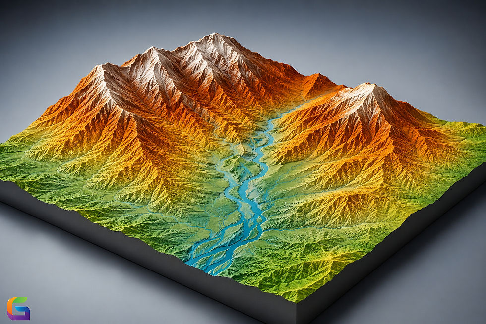
What Is a Drone Survey?
A drone survey involves deploying a UAV equipped with specialized sensors to capture aerial imagery or LiDAR data over a specific area. This data is then processed using photogrammetry or LiDAR processing software to generate:
Orthomosaic maps
3D point clouds
Volumetric measurements
Key Benefits of Drone Mapping
Speed and Efficiency
Drone surveys significantly reduce field time. What once required days or weeks can now be completed in a matter of hours. Automated flight paths and real-time data acquisition allow surveyors to cover hundreds of acres quickly and efficiently.
High Accuracy
Modern UAVs equipped with RTK (Real-Time Kinematic) and PPK (Post-Processed Kinematic) positioning systems deliver centimeter-level accuracy. When combined with ground control points (GCPs), drone mapping can meet or exceed traditional surveying standards.
Cost Savings
Reduced labor, shorter project timelines, and minimal equipment needs make drone surveys a cost-effective solution. Companies can complete projects with smaller teams while maintaining high-quality outputs.
Enhanced Safety
Surveying hazardous environments—such as construction zones, mining sites, or disaster areas—poses serious risks to personnel. Drones eliminate the need for surveyors to enter dangerous areas, improving overall job-site safety.
Applications Across Industries
Drone surveys are transforming multiple industries:
Construction and Infrastructure
Construction firms use drone mapping for site planning, progress monitoring, and volumetric analysis. Orthomosaic maps provide stakeholders with real-time insights, improving project management and reducing costly delays.
Mining and Aggregates
Mining companies rely on UAVs for stockpile measurement and terrain analysis. High-resolution 3D models enable precise volumetric calculations and operational optimization.
In precision agriculture, drone surveys provide detailed crop health data using multispectral imaging. This helps farmers make data-driven decisions to improve yield and resource efficiency.
Environmental Monitoring
Environmental agencies use drones to monitor erosion, wetlands, and forest health. UAV-based mapping ensures frequent data collection without disturbing sensitive ecosystems.
The Future of Drone Mapping
The future of UAV mapping is driven by automation, artificial intelligence, and real-time data processing. Emerging technologies include:
Autonomous swarm mapping
AI-powered feature recognition
Cloud-based collaborative mapping
Real-time 3D reconstruction
As drone hardware becomes more sophisticated and software continues to evolve, mapping workflows will become even more efficient and data-driven.
Why Drone Surveys Are the Future of Mapping
Drone surveys represent a fundamental shift in geospatial data collection. They offer unmatched efficiency, enhanced safety, and powerful analytics capabilities—making them indispensable for modern surveying professionals.
At UAVSphere.com, we remain committed to delivering insights into the latest UAV technologies, mapping innovations, and industry best practices. As the demand for accurate, high-resolution geospatial data continues to grow, drone surveys are not just changing the game—they are redefining it.
The mapping industry is experiencing a technological revolution. Whether you're in construction, mining, agriculture, or environmental management, drone surveys provide the tools needed to stay competitive in an increasingly data-driven world.
Stay ahead of the curve with UAVSphere.com—your trusted source for cutting-edge UAV and drone mapping solutions.
For more information or any questions regarding the drone surveys, please don't hesitate to contact us at:
Email:
USA (HQ): (720) 702–4849


Comments