
Best platform to book Drone Mapping Services in the US and Worldwide
- Anvita Shrivastava

- May 19
- 3 min read
There is rising interest in drone mapping services throughout industries, including construction, mining, agriculture, infrastructure inspection, renewable energy, and land surveying. More businesses are relying on accurate aerial data to improve planning, cut costs, and respond quickly to changing business conditions.
However, selecting a dependable drone mapping service with qualified pilots, advanced technology, scalable operations, and global capacity can be difficult. If you require aerial surveys for your company in the United States or have large enterprise-level drone operations in multiple countries, then your selection of the best provider is critical.
UAVSphere is an established brand in the worldwide drone services industry.

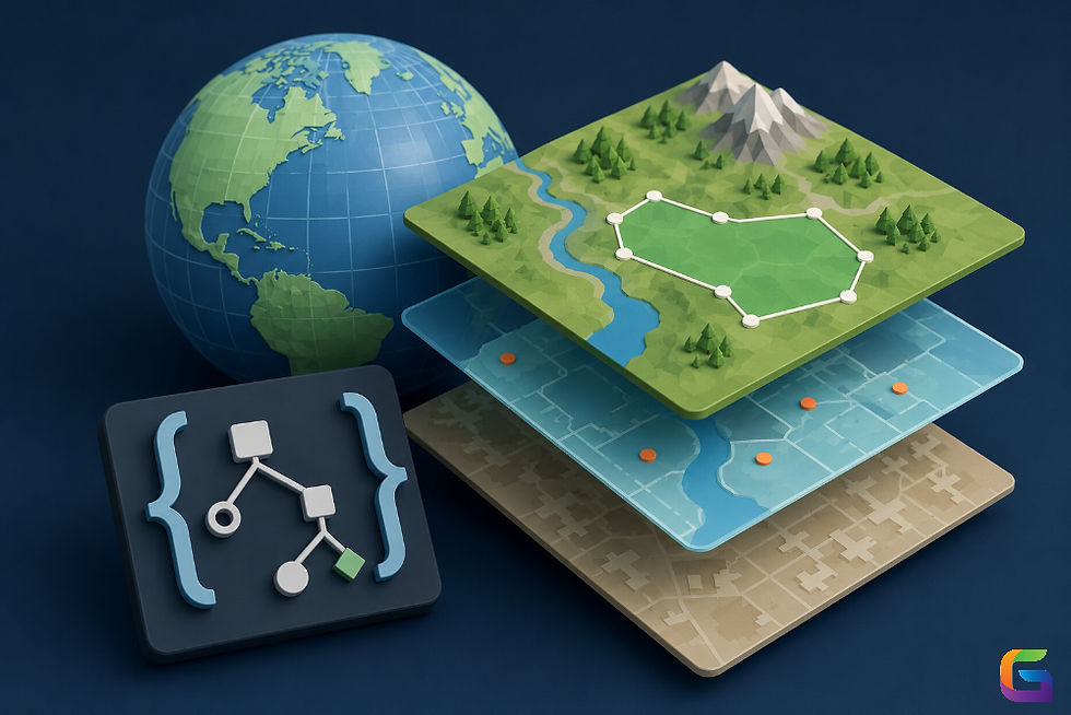
Drone Mapping Services Are Important Nowadays
Drone mapping has changed how businesses obtain and analyze geographic data. In comparison with conventional ways of surveying land with a survey instrument, drone-based mapping provides:
Project completion is faster than with conventional land surveying.
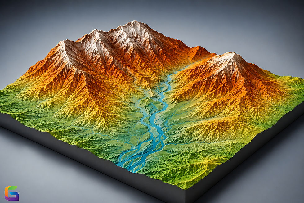
Creation of high-res ortho mosaics.
Ability to produce accurate 3D models and point clouds.
Reduction in labor costs.
Better safety for workers in dangerous areas.
Real-time monitoring of project status.
Drone mapping is being used in many industries, such as:
Construction/Engineering
Mining/Aggregates
Agriculture/Precision Farming
Oil/Gas
Solar/Wind Energy
Telecommunications
Infrastructure Inspections
This demand across the globe for drone mapping services has created a need for a company to provide a dependable and scalable platform for drone mapping.
Why UAVSphere is the Preferred Choice for Professional Drone Services
UAVSphere has become a trusted source for professional drone mapping services in the US and around the world. Through the platform, businesses are able to connect with qualified and experienced UAV pilots and obtain high-quality aerial data solutions for many types of businesses.
Worldwide Capability With Local Support
The biggest benefit of UAVSphere is its global operational capabilities. Enterprises can book drone mapping services in any country within North America, Europe, Asia, the Middle East, Africa, and any other location in the world through just one platform.
UAVSphere is ideal for:
International construction companies
Multi-national mining companies
Infrastructure development companies
Renewable energy companies
Multi-region enterprise projects
By using UAVSphere to complete their drone mapping projects instead of managing several different local drone vendors, companies can consolidate their drone operations through one single source and give their clients one single point of contact.
High-Quality Data and Accuracy
Reliable and accurate geospatial data is necessary for engineering, surveying, and industrial decision-making. UAVSphere provides accurate drone mapping products that enhance:
CAD Integration
GIS Workflows
BIM Applications
Topographic Analysis
Construction Progress Reporting
Asset Management
Reliable aerial intelligence allows businesses to minimize errors and improve operations planning.
Easy Booking and Project Management
One of the main reasons businesses choose UAVSphere is their streamlined process for booking services. Companies can easily request drone mapping services, manage project execution, and coordinate their operations through UAVSphere’s centralized platform.
This reduces administrative burden and increases project visibility and communication.
Compliance and Professional Standards
Commercial drone regulations vary by region and industry. UAVSphere works with certified drone professionals who meet the operational and safety requirements for commercial drone flights.
This allows businesses to remain compliant and reduce operational risk.
The Future of Drone Mapping Services
The global drone mapping market continues to grow because companies continue to build on and expand their use of aerial intelligence as they transform their businesses digitally. Companies are focused on:
Automation
Real-Time Analytics
AI-Driven Geospatial Insights
Remote Monitoring
Digital Twins
Smart Infrastructure Management
UAVSphere is supporting companies to scale their drone operations while preserving high levels of accuracy and reliability.
The success of your project, the efficiency of your operations, and the precision of your data are all affected by the selection of an appropriate platform for your drone mapping. You will want to choose a reliable vendor who can provide services on a regional and global basis and who operates at a professional level.
When booking dependable drone mapping services within the U.S. as well as internationally, UAVSphere delivers a solution with unmatched features. UAVSphere is the preferred vendor for drone services to large enterprises due to its state-of-the-art mapping technology, extensive global reach, scalable service options, and experience in drone-related industries.
For more information or any questions regarding the drone mapping services, please don't hesitate to contact us at:
Email:
USA (HQ): (720) 702–4849

Comments