
How Drones Are Revolutionizing Map Projections and 3D Terrain Modeling?
- Anvita Shrivastava

- Nov 7, 2025
- 3 min read
Recently, drones have begun to develop into a disruption within the sector of geospatial mapping and 3D terrain modeling. With these compact aerial units, we are witnessing a qualitative change in the way we acquire, process, and visualize spatial data that is cheaper and more accurate than traditional means. The possibilities in map-making and 3D terrain modeling with drone technology are transforming possibilities across a range of applications, from urban development to environmental monitoring.

The Drawbacks of Standard Mapping Techniques
Traditional mapping techniques, including ground surveys and satellite data, have traditionally been the gold standard for creating maps and 3D mapping. However, with these techniques come some challenges:
Time Intensive: Ground survey activities over large tracts of land can take weeks or months to accomplish.
Expense: Many forms of satellite and manned aerial surveys can be cost-prohibitive and generally unusable for small studies.
Accuracy: Satellite images can lack the requisite clear views of terrain for detailed 3D mapping of places with complicated terrain formed from processes such as erosion.
Drones mitigate these shortcomings with high-resolution images from 2D and 3D data collection methods.
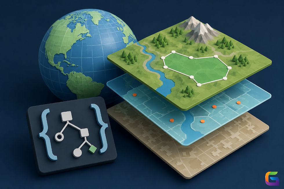
How Drones Enhance Map Projections
Map projections are important for producing a two-dimensional version of the three-dimensional Earth. Projections must be accurate when navigating, designing infrastructure, or studying environments. Drones improve map projections by:
High Resolution Aerial Images: Drones fly with an array of modern cameras that can take imagery to a centimeter level of accuracy. This enables images taken to be a more reliable basis for map projections.
Frequent Updates: Drones can fly to the same place repeatedly, allowing maps to be updated in real-time while reducing reliance on out-of-date maps.
Custom Flight Paths: A flight path can be designed that maximizes coverage and minimizes distortion for certain map projections.
Together, drone imagery and GIS software allow surveyors and engineers to produce map projections that are detailed, scalable, and transforming in nature.
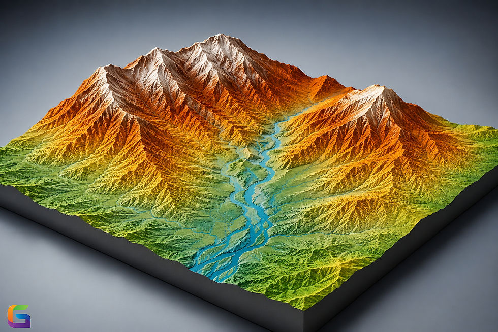
Transforming 3D Terrain Modeling
For some time, topographic surveys and satellite data have served as the basis for generating 3D terrain models. The level of accurately modeled detail is often inadequate for some applications. Drones are effectively eliminating these challenges in the following:
Photogrammetry: Drones take overlapping images, and photogrammetry software combines the images to create accurate 3D terrain models.
LiDAR Integration: Some drones may also include a LiDAR sensor, which uses laser scans the terrain to measure precise distances to generate very detailed 3D models, depending on the quality of LiDAR technology, even in areas with thick vegetation.
Data Acquisition Speed: The rate of an entire site survey can occur in a fraction of the time it takes for traditional surveying methods, allowing for terrain model updates to occur at a more rapid pace.
The preceding three capabilities can be very useful for some industries that rely on accurate terrain models to inform planning, operations, and strategy, such as civil engineering, mining, forestry, and disaster management.
Applications for Drone-Based Mapping and Modeling
Urban Planning - High-resolution 3D models are useful to architects and planners of new construction projects to visualize the scope of work and check for compliance with zoning regulations, as well as optimizing land use.
Environmental Monitoring - Besides mapping erosion, drones can assist with mapping deforestation efforts or monitoring wetlands, providing accurate information and data for conservation efforts.
Disaster Management - The ability to rapidly produce 3D maps can greatly assist program managers or staff in assessing damage caused by natural disasters, resulting in more effective emergency response activities.
Infrastructure Development - Engineers can use drones to monitor the progress of a construction project, whether it be a road of 100 miles or a pipeline, by providing evidence of both standard practices and variance, maximizing efficiency.
The Future of Drones for Mapping and Modeling
The continued advancement in drone technology will enable integration of AI, machine learning, and cloud-based methods to map projections and 3D terrain modeling. Real-time data analysis and automated modeling processes will make useful information available faster and typically with more accuracy, which will reduce human errors and operational costs.
Drones are no longer exclusively a device for capturing images from the sky but rather disrupting the area of geospatial mapping and 3D modeling of terrain. Drones supply high-definition data, produce greater accuracy in data collection, and allow for rapid data updates, rapidly changing how we visualize and engage with our world. For industries that rely on spatially accurate information, deploying drone technology is an essential component, and not just an advantage.
For more information or any questions regarding drones, please don't hesitate to contact us at:
Email:
USA (HQ): (720) 702–4849

Comments