
Beginner’s Guide to KML Files: What They Are and How to Build One
- Anvita Shrivastava

- May 13, 2025
- 2 min read
Updated: Jun 18
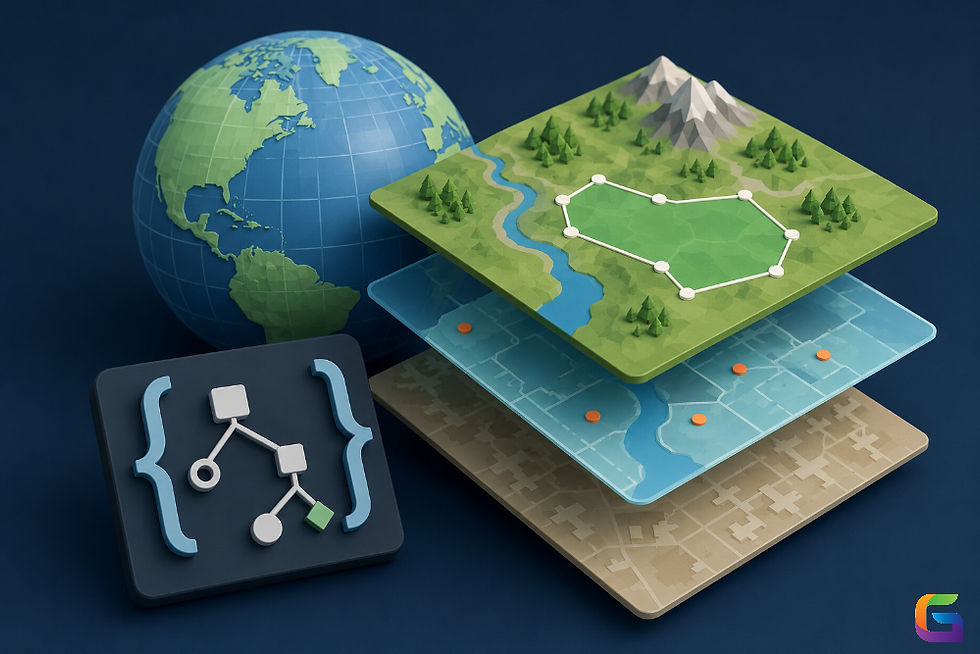
When working with geographic data or creating custom maps, you may come across KML (Keyhole Markup Language) files. These files play a vital role in the visualization, storage, and sharing of location-based information on platforms such as Google Earth and Google Maps. Whether you are a real estate professional mapping property locations or a newcomer exploring geospatial technologies, gaining an understanding of KML files provides a valuable foundation for working with spatial data.
What is a KML File?
KML stands for Keyhole Markup Language. It is an XML-based file format used to display geographic data in mapping applications such as Google Earth, Google Maps, and other GIS tools.
Developed by Keyhole Inc., which was acquired by Google, KML allows users to annotate maps with:
Points (Placemarks)
Paths (Lines)
Shapes (Polygons)
Overlays (Images)
3D Models
A KML file essentially tells a mapping program what to display and where to display it on the Earth’s surface.

Why Use a KML File?
KML files are incredibly useful for:
Custom map creation for data visualization
Environmental and urban planning
Geotagging photos or videos
Business mapping for delivery routes or service areas
Key Components:
<Placemark>: Marks a specific location.
<name>: Title of the location.
<description>: Additional details.
<Point>: Coordinates (longitude, latitude, altitude).
How to Create a KML File: Step-by-Step
1. Use Google Earth or Google My Maps
One of the easiest ways to create a KML file is using Google Earth (Pro or Web) or Google My Maps:
Google Earth:
Open Google Earth.
Use the “Add Placemark” or “Add Path” tool.
Save your map or data as a .KML or.KMZ file (KMZ is a compressed version of KML).
Google My Maps:
Go to Google My Maps.
Create a new map and add your data.
Click on the three-dot menu and choose “Export to KML/KMZ.”
2. Manually Write KML in a Text Editor
If you're familiar with XML, you can write your own KML file:
Use any plain text editor like Notepad, Sublime Text, or VS Code.
Save the file with a .kml extension.
Make sure it includes the correct XML structure.
Tips for Optimizing Your KML Files
Keep coordinates accurate (use GPS or online tools to find exact points).
Use descriptive names for placemarks and paths.
Avoid overly large files; split into multiple KMLs if needed.
Validate your KML with online tools or Google Earth to check for errors.
Understanding how to create and use KML files gives you the power to tell visual stories through maps. Whether you're using UAVSphere or GeoWGS84, KML is the format that makes it all possible.
Start by exploring your favourite places on Google Earth, save a few points, and export them to KML—soon you’ll be building more complex and dynamic maps with ease.
For more information on creating a KML file using Google Earth, please feel free to contact us at:
Email: info@geowgs84.com
USA (HQ): (720) 702–4849
India: 98260-76466 - Pradeep Shrivastava
Canada: (519) 590 9999
Mexico: 55 5941 3755
UK & Spain: +44 12358 56710

Comments