
What is LiDAR Technology
- Anvita Shrivastava

- Sep 25, 2025
- 3 min read
LiDAR technology has recently gained traction in an ever-evolving tech world, changing industries from autonomous vehicles to environmental monitoring. However, you may find yourself asking, What is LiDAR? And why is it suddenly trending? In this blog, we will define LiDAR, its uses, and its future.
What is LiDAR Technology?
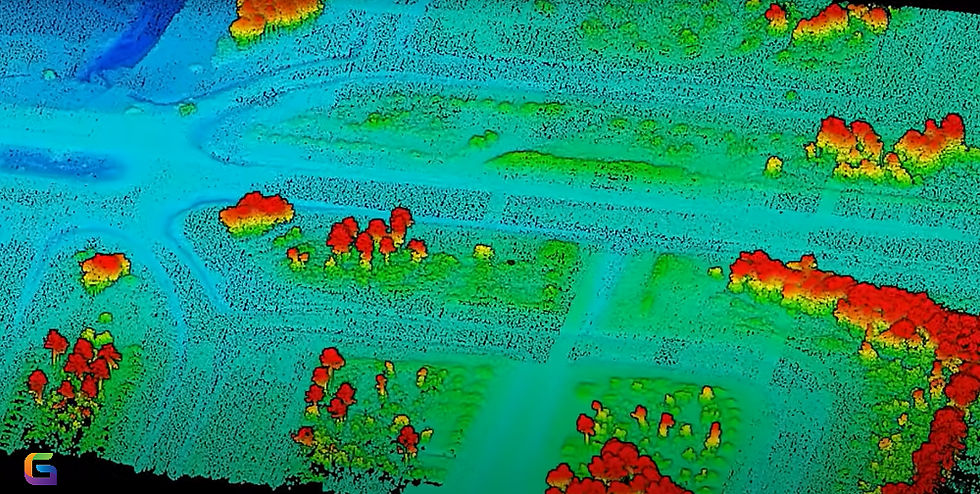
LiDAR, or light detection and ranging, is a remote sensing technology that measures distance to a target by emitting laser light. By emitting laser beams and measuring the time it takes for reflected light to return, LiDAR systems generate highly accurate three-dimensional information about the shape, structure, and surface characteristics of a given object.
In contrast to traditional imaging systems, LiDAR captures high-resolution three-dimensional spatial data, which makes it highly useful for applications that require mapping or detecting objects with high accuracy.
How LiDAR Works
LiDAR systems usually include three main components:
Laser Source – A source that sends rapid bursts of laser light toward the target.
Sensor/Receiver – A device that receives the reflected light from material surfaces.
Processor – A device calculates distance and produces the 3D point cloud by recording the time it takes the laser pulses to return.
The result is a dense 3D map of the environment, which can then be visualized and analyzed for numerous applications.
Key Features of LiDAR Technology
High Precision: Delivers precision in centimeters for accurate measurement and mapping.
Fast Data Capture: Captures millions of points per second, making it suitable for mapping up to 50 km in size.
Applicability: Operates in no-light and in extreme environments where cameras fail.
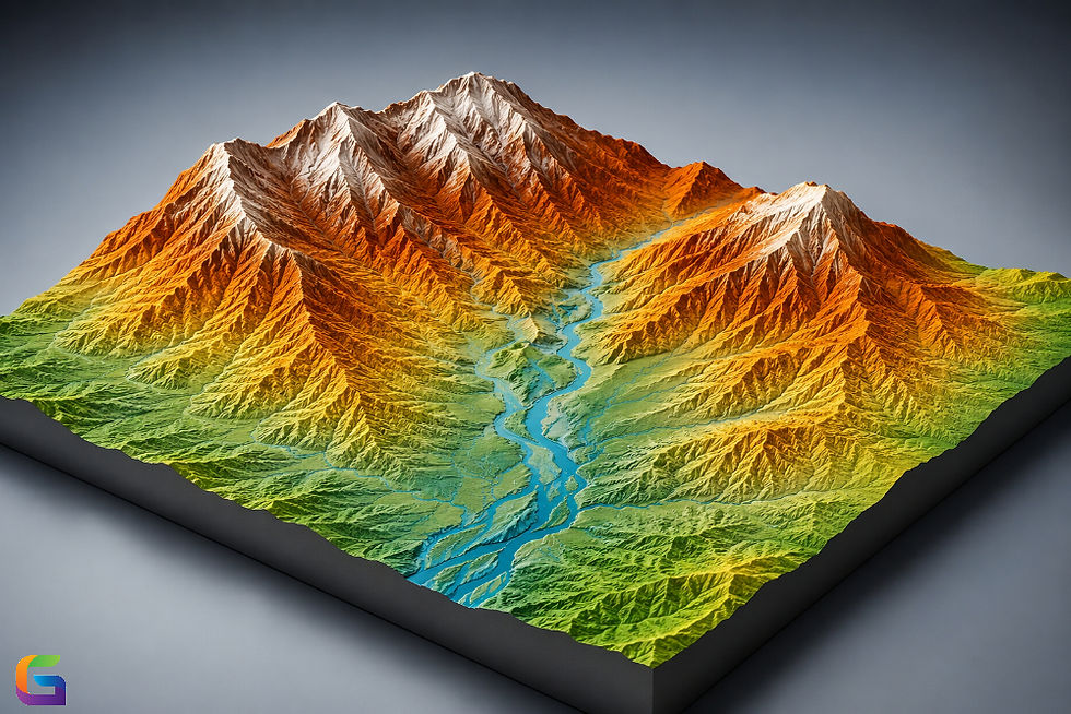
3D Maps: Generates detailed topographic maps, key for urban design and forestry.
Applications of LiDAR Technology
LiDAR technology is transforming sectors by furnishing spatial data that was previously unattainable through traditional processes. Some of the major applications are:
Autonomous Vehicles
LiDAR sensors are typically necessary for self-driving cars, providing real-time, 360-degree mapping of surroundings. This enables the vehicle to accurately determine the position of obstacles, pedestrians, or road conditions to enhance safety and navigation.
Environmental Monitoring
LiDAR is used for environmental studies, from monitoring forests to measuring coastal erosion. LiDAR allows the ability to look at vegetation density, topographic change, and water level gauges over time.
Urban Planning and Construction
City planners and engineers utilize LiDAR data to generate accurate topographic maps for designing infrastructure, surveying construction sites, and managing utilities.
Archaeology & Preservation of Cultural Heritage
LiDAR can reveal hidden structures deep within thick forests or hidden under heavy vegetation, allowing archaeologists to map ancient structures without any excavations.
Agriculture
With respect to precision agriculture, LiDAR technologies help producers track crop production and health, and allow a better understanding of field topography, while simultaneously helping optimize irrigation use and drive efficiency to better reduce resource loss and ultimately improve productivity.
Advantages of LiDAR Technology
Delivers dependable and precise 3D information, even in the most challenging conditions.
Allows rapid and safer information gathering, compared to any traditional manual surveying method.
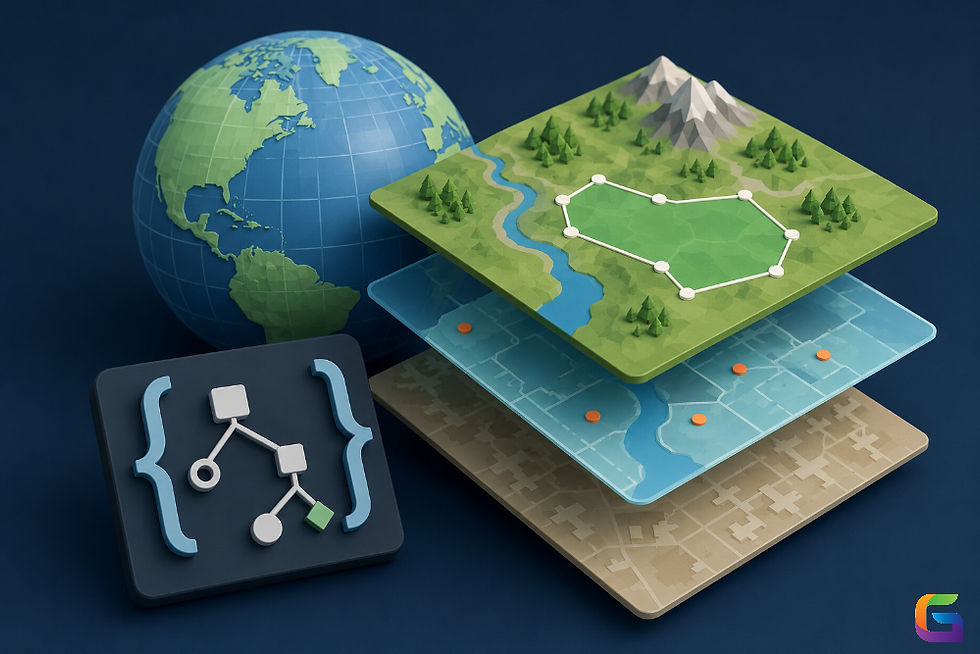
Integrates flawlessly with GIS for enhanced spatial understanding.
Functions well in low light and at nighttime, unlike cameras.
Future of LiDAR Technology
The outlook for LiDAR is positive, thanks to advancements in solid-state LiDAR, improvements in size, and a reduction in costs. As these technologies continue to develop, LiDAR should become more accessible to consumer electronics, drones, robotics, and smart city projects.
New trends such as AI-based LiDAR analytics will lead to greater capabilities, enabling industries to process LiDAR data faster and have better decision-making capabilities.
LiDAR technology is changing the ways we understand the physical world and how we interact with it. Incredibly precise, three-dimensional, spatial data collection is changing practices in autonomous vehicles, environmental studies, cities, and so on. With continuing innovations, LiDAR will be involved in even more of the way technology and smart systems develop in the future.
For more information or any questions regarding LiDAR technology, please don't hesitate to contact us at:
Email: info@geowgs84.com
USA (HQ): (720) 702–4849

Comments