
Using Drones for Forestry Management: From Canopy Analysis to Biomass Estimation
- Anvita Shrivastava

- Dec 4, 2025
- 4 min read
Although forest ecosystems are among Earth's most expensive and intricate environments, they have historically been difficult to manage. Manual fieldwork has typically been the basis of traditional forestry surveys, which require a large commitment of personnel time and often provide only a single perspective of the forest environment at a given time. Drones now allow for faster aerial photography, high-resolution images, rapid deployment, and advanced analytical capabilities to answer many questions regarding a forest's condition—from canopy health through biomass volumes.

How Drones are Changing Forestry Management Forever
Forestry professionals increasingly rely on drones because they deliver:
High-resolution imagery at centimeter-level precision
Fast data collection over large or remote areas
Lower operational costs compared to crewed aircraft or manual surveys.
Repeatable measurements for long-term forest monitoring
Safer operations in rugged, hazardous, or inaccessible terrain
Whether you're measuring canopy density, assessing storm damage, or modeling biomass for carbon projects, drones reduce guesswork and provide actionable insights.
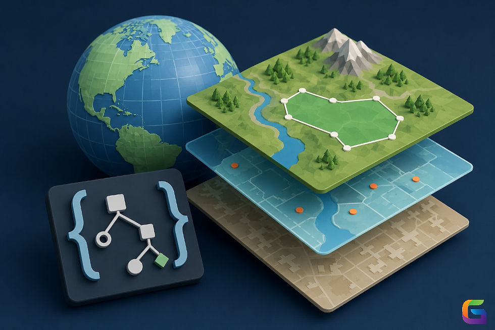
Drone Technologies Used in Forestry
Modern forestry workflows typically integrate several sensor types:
RGB Cameras
Standard RGB cameras capture detailed visual imagery ideal for:
Stand mapping
Tree counting
Canopy cover evaluation
Disease and pest detection
High-resolution orthomosaic maps provide a clear baseline for all forest assessments.
Multispectral Sensors
Multispectral sensors perform the calculations of various vegetation indices, including but not limited to NDVI, NDRE, and SAVI, which allows managers to
1. Identify Canopy Stress
2. Measure Photosynthetic Activity
3. Differentiate Types of Vegetation
4. Monitor Seasonal Change
The information gathered from these multispectral sensors will allow managers to identify early indications of disease, drought, and nutrient deficiency.
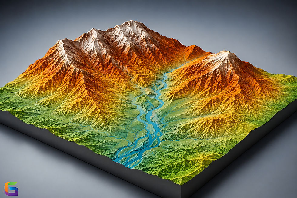
LiDAR Systems
LiDAR (Light Detection and Ranging) is considered the best method to identify the structure of forests. High-resolution 3D Point Clouds generated by LiDAR allow you to
1. Measure Tree Height
2. Analyze Canopy Layers
3. Create Maps of the Understory
4. Model the Surface of the Terrain Beneath the Canopy
Using LiDAR creates the most accurate estimates of Biomass and Carbon Stocks.
Thermal Cameras
Thermal Cameras assist in the assessment of
1. Risk of Wildfire
2. Detection of Moisture Stress
3. Monitoring of Wildlife
Images created using Thermal Cameras can be used to identify areas in a forest that may be stressed due to Damage, Heat, and Abnormalities in the Canopy.
Applications: From Canopy Analysis to Biomass Estimation
The analyzed metrics help to assess forest productivity and detect diseased or stressed trees, and trees that have been infested/affected by insects or disease.
Analysis of Forest Structure and Health Using Drones
Drones can quickly analyze the following canopy characteristics:
Crown Density
Leaf Area Index (LAI)
Chlorophyll Concentration
Gaps in Canopies
The metrics mentioned above are critical indicators of forest productivity and areas that may be impacted by diseases, pests, environmental stressors, etc.
Automated Tree Inventory and Species Classification Using AI
AI image analysis can automate the following processes:
Counting Trees
Delineating Tree Crowns
Identifying Tree Species
Monitoring Tree Growth
By automating these tasks, inventory workflows are greatly accelerated, and manual workload is significantly decreased.
Accurate Biomass Estimation
For the following use cases, an accurate biomass estimation is very important:
Carbon Credit Projects
Sustainable Tree Harvesting
Climate Modeling
The use of LiDAR-derived Tree Height and Allometric Equations allows for calculating tree-specific Above Ground Biomass (AGB) accurately, with the addition of multispectral data to improve species-specific biomass modeling.
Forest Health and Disturbance Monitoring
Drones are used to measure and track multiple areas of disturbance within forests, such as the following:
Wildfire Burn
Storm Impacts
Insect Outbreak
Disease
An efficient method of post-event mapping and assessment can enable forest managers to determine recovery efforts and lessen the potential for long-term loss.
Reforestation and Regeneration Assessment
The use of drones as tools for assessing reforestation and regeneration includes:
Monitoring the survival of seedlings
Measuring the rate of growth
Reporting the amount of competition from nonnative species
Determining whether or not a site meets the reforestation/restoration goals
Drones allow for repeatable surveys, allowing managers to continue to improve the processes associated with the reforestation and regeneration efforts.
Workflow best practices
To ensure reliable and accurate data, follow these best practices:
1. Plan Optimal Flight Paths
Fly at a consistent altitude.
Use an overlap of 70–80% for RGB or multispectral.
Adjust LiDAR scan settings based on terrain.
2. Use Ground Control Points (GCPs)
GCPs improve geospatial accuracy, especially when creating digital elevation models (DEMs) or 3D forest models.
3. Choose the Right Processing Software
Platforms like Pix4D, Agisoft Metashape, or specialized LiDAR software help transform raw data into:
Orthomosaics
DSMs/DTMs
Point clouds
Vegetation indices
4. Integrate AI and Machine Learning
AI tools automate:
Tree segmentation
Species classification
Biomass prediction
This reduces manual analysis time and increases precision.
The Future of Drone-Based Forestry Management
As sensors become more advanced and AI analytics improve, drones will play an even larger role in sustainable forest management. Expect future workflows to include:
Real-time forest analytics
Autonomous swarming drone fleets.
Integration with satellite data
Predictive models for fire risk and biomass changes
These advancements support climate resilience, conservation, and responsible land stewardship.
Drones have redefined many of the ways that Forestry Management can utilize innovative Technologies. UAVs are accurate, cost-efficient, and scalable methods of Forest Ecosystem Assessment (e.g.,). UAVs are the future of Forestry Management, whether managed by Timber Companies, the Carbon Offset Market, or Managed Conservation Areas. A Drone-based workflow will provide additional value beyond just operational efficiency and will promote sustainable use and maximize environmental benefits long term.
For more information or any questions regarding the drones, please don't hesitate to contact us at:
Email:
USA (HQ): (720) 702–4849

Comments