
How Drones Are Transforming Surveying, Mapping, and Inspection in 2026
- GeoWGS84 Corp.

- Feb 10
- 4 min read
Overall, growth in the drone industry is being driven by advances in sensors, artificial intelligence capabilities for performing complex analytics; advances in the development of autonomous vehicles; improved regulatory compliance (new FAA Part 107 certification), etc. Overall, this helps create new ways of capturing, processing, analyzing and distributing data; and allows the UAV to provide faster, more accurate and safer performance than traditional methods could provide.
From land surveyor to all Big Box construction site inspectors (and many more) UAVs are having a major impact on changing the way businesses will manage operations over the next several decades.

The Evolution of Drone-Based Surveying and Mapping
From Visual Tools to Precision Instruments
Early drone deployments focused primarily on aerial imagery. In 2026, drones function as high-precision geospatial instruments, capable of delivering survey-grade data that meets or exceeds traditional ground-based methods.
Modern UAV platforms integrate:
RTK/PPK GNSS for centimeter-level accuracy
High-resolution RGB, LiDAR, multispectral, and thermal sensors
Onboard AI for real-time data validation
Automated flight planning with terrain awareness
These capabilities have transformed drones from visual aids into core data acquisition systems.
Key Technologies Driving Change in 2026
LiDAR Becomes Mainstream
LiDAR-enabled UAVs are being used for many more applications than ever before due to drastically reduced costs, improved sensors and software. LiDAR on UAVs has become the GO-TO standard method for:
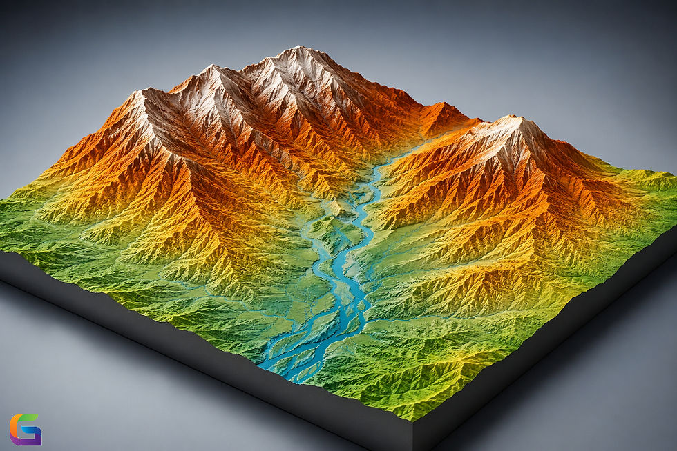
Topographic surveys (or contour maps)
Forestry surveys (or tree canopy surveys)
Electric Powerline and utility corridor mapping
Mining exploration and volumetrics.
Today's LiDAR systems can provide:
Faster Pulse Repetition Rates (PRR)
Better integration of Inertial Measurement Units (IMUs)
More Accurate Data Under Dense Canopies
For surveyors, modern LiDAR UAVs allow for much quicker data collection with fewer ground control points (GCPs) and provide reliable results in highly complex terrain.
AI-Powered Data Processing and Analytics
By far the biggest “Transformative Event” in 2026 is not the Physical UAV Platforms; it’s the Digital Software That Is Being Developed to Process Data Collected by UAVs with the Help Of AI and ML.
AI and ML are automating many processes that used to take Professional Surveyors and Mappers Days or Weeks to complete, such as:
Extracting features (roads, buildings, utilities, etc.)
Detecting changes over time
Identifying defects in inspection workflows
Classifying Point Cloud Data and Creating Orthomosaics.
As a result, instead of spending days manually reviewing thousands of images, Insurance and Bonded Contractors will now be provided with Data that they can act upon without having to sift through piles of raw data.
Autonomous and Beyond Visual Line of Sight (BVLOS) Operations
Regulatory frameworks in the US and globally have matured significantly. In 2026:
BVLOS operations are increasingly approved for commercial use
Remote ID is fully integrated into airspace management
Autonomous drone-in-a-box systems are common
This enables:
Continuous infrastructure monitoring
Scheduled inspections without on-site pilots
Large-area mapping with minimal human intervention
For industries managing distributed assets, autonomy dramatically reduces operational costs.
Transforming Surveying Workflows
Faster Data Collection with Higher Accuracy
Traditional land surveying often requires:
Multiple field crews
Extended site access
Exposure to hazardous environments
Drone-based surveying replaces this with:
Rapid aerial data capture
Minimal site disruption
Reduced safety risks
A single UAV mission can now survey hundreds of acres in hours, delivering survey-grade outputs such as:
Contours and CAD-ready files
Surveyors can focus more on analysis and less on manual data collection.
Reduced Dependency on Ground Control Points
Thanks to RTK/PPK advancements and AI-assisted correction, 2026 workflows rely on fewer ground control points without sacrificing accuracy. This is especially impactful for:
Remote locations
Linear infrastructure projects
Emergency response mapping
The result is faster mobilization and lower field costs.
Mapping at Scale: Smarter, Not Just Bigger
Urban and Smart City Mapping
Cities are using drones to maintain up-to-date geospatial databases for:
Urban planning
Traffic modeling
Utility management
Disaster preparedness
High-resolution orthomosaics and 3D city models generated by drones can be compressed and integrated seamlessly with GIS and digital twin platforms.
In 2026, drones are key contributors to living maps—dynamic datasets updated continuously rather than every few years.
Environmental and Agricultural Mapping
Multispectral and hyperspectral drones play a critical role in:
Crop health monitoring
Soil analysis
Water resource mapping
Environmental impact assessments
Advanced analytics allow users to detect issues early, optimize resources, and support sustainable decision-making.
Revolutionizing Inspection Across Industries
Infrastructure Inspection Without Human Risk
Drone inspections are now standard practice for:
Bridges and highways
Power transmission lines
Wind turbines and solar farms
Oil and gas facilities
High-resolution zoom cameras, thermal sensors, and LiDAR allow inspectors to identify:
Structural cracks
Corrosion
Heat anomalies
Alignment issues
All without scaffolding, rope access, or shutdowns.
AI-Driven Defect Detection
In 2026, inspection drones don’t just capture images—they interpret them.
AI models trained on massive datasets can:
Automatically flag defects
Rank issues by severity
Track deterioration over time
This enables predictive maintenance instead of reactive repairs, saving time and millions in operational costs.
Data Integration and Digital Twins
From Drone Data to Decision Platforms
Drone outputs now integrate directly into:
BIM (Building Information Modeling)
GIS platforms
Asset management systems
Digital twin environments
This creates a continuous feedback loop between real-world conditions and digital models.
For asset owners, this means:
Better lifecycle management
Real-time situational awareness
Data-driven planning
Drones are no longer isolated tools—they are embedded in enterprise ecosystems.
Workforce Impact and Skill Evolution
Surveyors and Inspectors Are Becoming Data Specialists
Rather than replacing professionals, drones are reshaping roles.
In 2026, successful professionals combine:
UAV operations knowledge
Geospatial data analysis
AI-assisted interpretation
Regulatory and safety expertise
Training has shifted toward data validation, quality assurance, and strategic analysis, elevating the profession overall.
In 2026, drones have fundamentally transformed surveying, mapping, and inspection by making workflows faster, safer, and more intelligent. What was once cutting-edge is now standard practice, and organizations that fail to adopt UAV technology risk falling behind.
For professionals and businesses alike, the focus is no longer whether to use drones—but how to use them strategically.
At UAVSphere.com, we’ll continue tracking these innovations, exploring real-world applications, and helping the industry navigate the future of unmanned aerial systems.
For more information or any questions regarding the drone data, please don't hesitate to contact us at:
Email:
USA (HQ): (720) 702–4849


Comments