
Drone Imagery 101: A Beginner’s Guide to Aerial Photography
- Anvita Shrivastava

- Apr 15, 2025
- 2 min read
Updated: May 1, 2025
In recent years, drones have revolutionized how we capture the world around us. Whether you're mapping landscapes, surveying construction sites, or simply capturing stunning aerial shots for creative projects, drone imagery offers a powerful new perspective. In this beginner-friendly guide, we’ll walk you through the basics of drone imagery, from choosing the right equipment to capturing high-quality aerial photos.

What Is Drone Imagery?
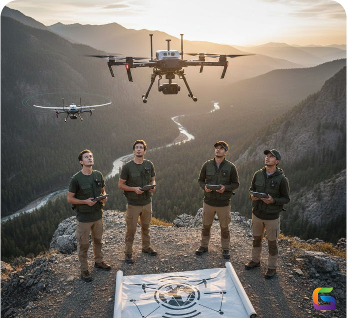
Drone imagery refers to photos or videos captured by drones (UAVs – Unmanned Aerial Vehicles). These flying cameras provide a bird’s-eye view of terrain, structures, and environments that are often difficult or expensive to reach using traditional photography methods.
Why Use Drone Imagery?
Drone photography has countless use cases, including:
Mapping and Surveying
Urban Planning and Infrastructure
Agricultural monitoring – Assess crop health and irrigation
Construction & infrastructure surveys – Track progress and ensure accuracy.
Environmental mapping and monitoring – Analyze forests, coastlines, and wildlife.
With the right drone and technique, you can gather high-resolution aerial imagery that’s both professional and precise.
Choosing the Right Drone for Photography
When starting with drone imagery, consider the following:
Camera resolution – Look for drones with at least a 12MP camera or 4K video recording
Stabilization – Gimbals are essential for precise, smooth shots
Flight time – Choose drones with longer battery life (20+ minutes)
Range – A more extended transmission range allows wider coverage
GPS & obstacle avoidance – Improves safety and image accuracy
Best Practices for Capturing Aerial Images
Plan Your Flight – Use mapping apps or flight planning tools to outline your short path.
Mind the Weather – Avoid flying in high wind or rain. Clear skies = better lighting.
Follow the Rule of Thirds – Like ground photography, composition matters.
Shoot in RAW – Gives you more flexibility in post-processing.
Use ND Filters – Helps control light in bright conditions.
Capture at Different Altitudes – Combine high and low shots for variety.
Legal Tips: Flying Responsibly
Before taking off, make sure to:
Register your drone (as per local aviation rules)
Follow no-fly zone regulations.
Avoid flying over people or private property without permission.
Stay below 400 feet (120 meters)
Always keep your drone in visual line of sight.
Check local drone laws for compliance—rules vary by country and region.
Drone imagery isn’t just a trend—it’s a transformative tool in both creative and professional industries. By learning the basics, choosing the right equipment, and flying responsibly, you can unlock powerful possibilities from above.
For more information or any questions regarding Drone Imagery, please don't hesitate to contact us at
Email: info@geowgs84.com
USA (HQ): (720) 702–4849


Comments